ArcGIS is a really powerful tool that allows us to create interactive information maps. This tool could combine the GIS map and other information (such as 3D models, text, and pictures).
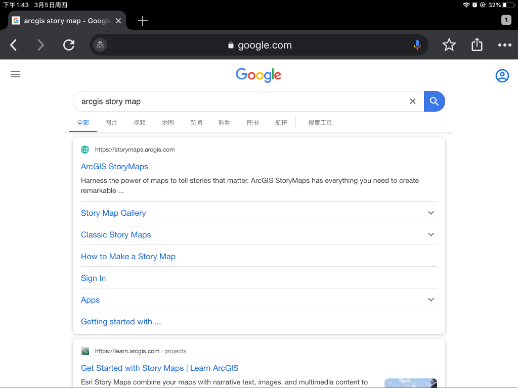
If you want to know how to use this powerful tool, the first step is, surely, open the app. So, firstly, you can search “arcGIS story map” in google, and click the “arcGIS story map.”
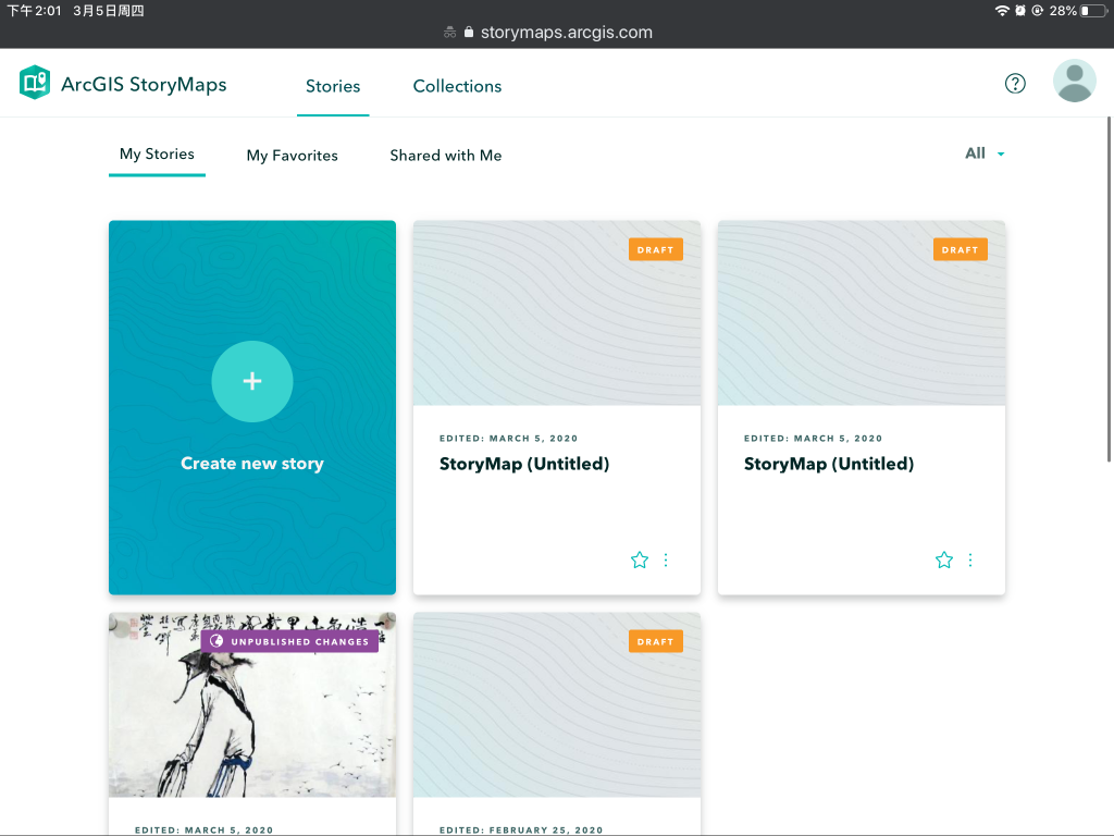
And then, you should create a new story map.
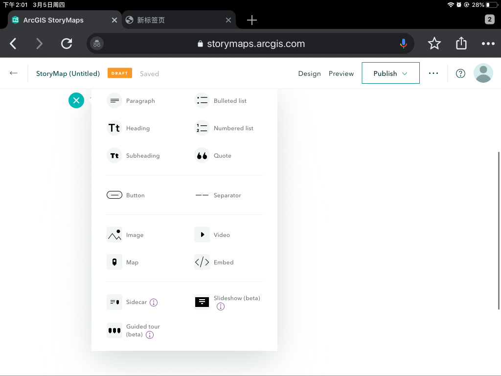
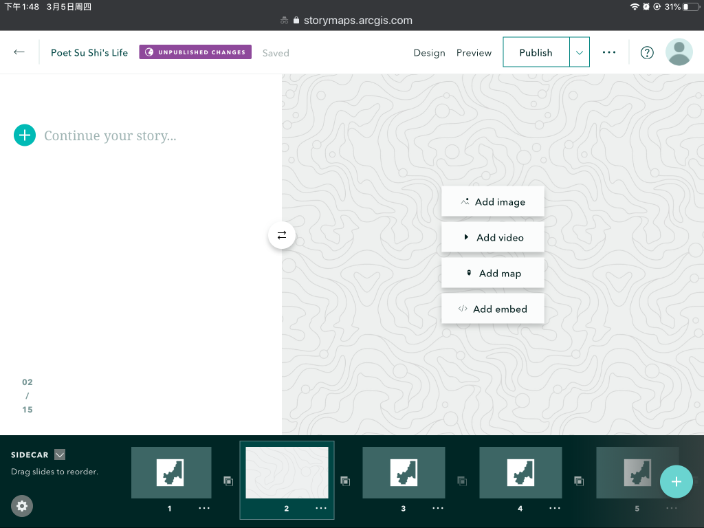
After that, click the plus button, and choose sidecars.
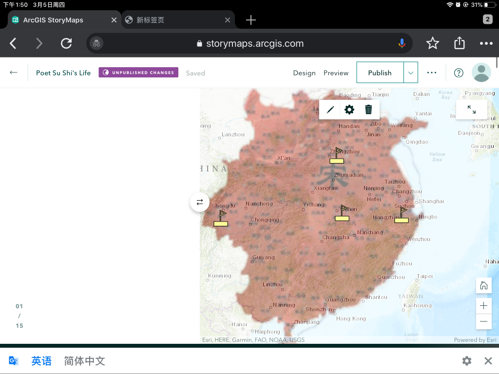
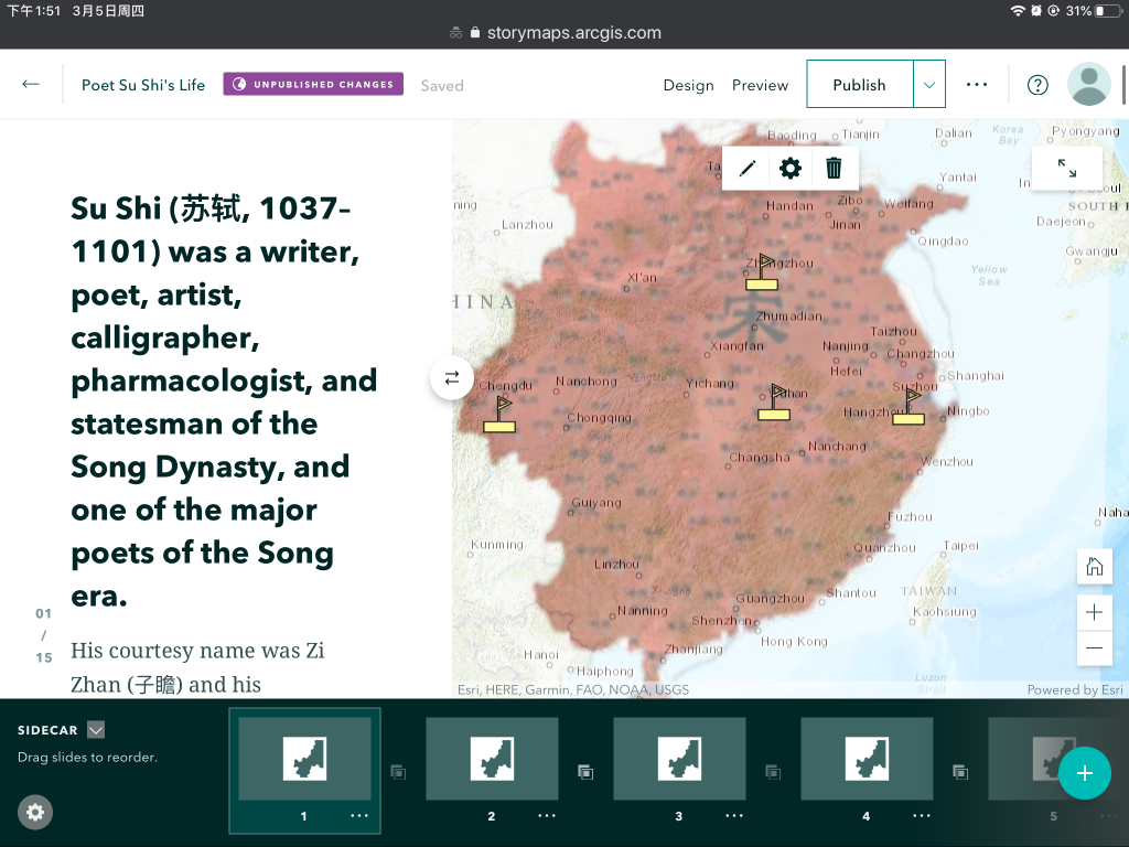
And then create some maps using Arc GIS.
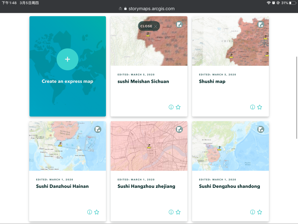
After that, add those maps into the story maps.
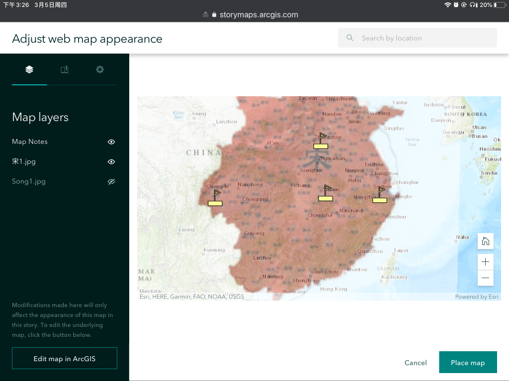
And then add maps into it, and you can choose which layears you want to use (By click the pencil button).
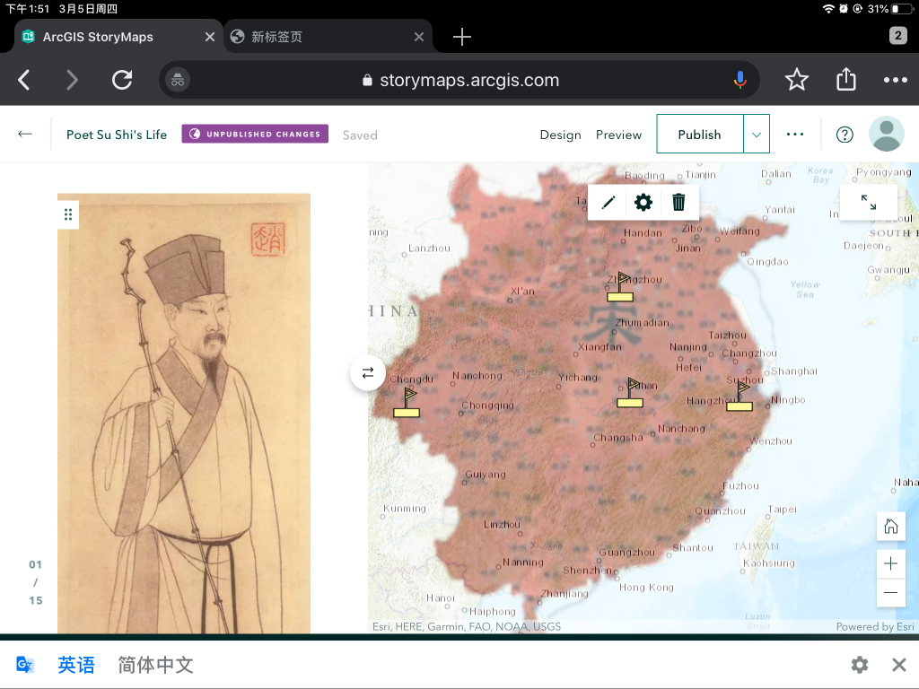
Finally, you can add more text or pictures on the sidebar if you click the plus button. you can see the choices in the drop-down manu.
More resources:
5 replies on “HOW TO USE ARCIGS STORY MAPS”
Great tutorial! AcrGIS story maps has changed their interface recently, which is pretty important to note, as accessing the add a map option is hidden under one of the plus icon pop up layers. It seems the platform wants you to build out your front page, headlining the title and an image first before getting into its map options. Other than that change from ArcGIS’ end, tutorial was on point.
This tutorial was very interesting as I had no idea what an arcGIS storymap was or how it might be used. Perhaps a way to improve the tutorial would be to add arrows, annotations, or other interactive components to the different pictures because at some steps it was hard to follow the instructions with the pictures and identify which tools were being used or what was being clicked on. Overall, the tutorial was very insightful though, great job!
Good tutorial, didn’t know this was possible with arcGIS, i think you could have gone into a little bit more depth, but still a great way to grasp the basics
I’m having problems following your tutorial, I feel like it jumps ahead a lot and assumes a lot from the user on bot already being familiar with ArcGIS and of Story Map concepts. I think you should take it from the perspective that whoever is watching the tutorial is a completely new user.
This is just amazing because I think story maps are extremely important tool for history teaching. I used to think that history is boring because a lot of times textbooks just list events without any kind of interactive elements. On the other hand, interactive story maps allow you to embed many things like 3-D models, videos and etc.