Considering the fact I’d never touched GIS software before, it’s a bit of a miracle this map works the way it’s supposed to. Even more miraculous is the fact that I was able to embed it below. I believe both are testaments to the power of tutorials and persistence. Also helpful was the ability to use the WordPress html viewer to plop the template code esri provided into this post. The hacking continues in earnest!
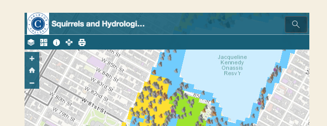
So here it is, my fairly arbitrary map which puts information about the hydrologic grouping of soils in Central Park and squirrel sightings during the New York squirrel survey. I chose this data not for any practical purpose, but because it made the map legible. Most of the publicly available data looked like one large, monochromatic block outside of the park in greater New York which fully obscured the base map. Due to the lack of dirt on the upper East and West sides of Manhattan, the soil data was confined to the park and allowed the base map to remain visible in a way population density or elevation would not.
Perhaps there is a way to limit the area of the layers other than through the viewport that I didn’t find, but for the purposes of learning how to take both CSV and publicly available data and visualise them through ArcGis, this fulfilled my goals.
2 replies on “On Squirrels and Soil”
I did the same thing with the tutorials – once I got through the GIS part of the project I thought I’d be in the clear and know what to do next, but I quickly realized I had no idea how to embed something…
I had similar trouble with choosing which public maps to use – legibility definitely won out in the battle between legibility or relevance. I also was shocked at my abilities to produce a working map, as it seems like it should have been way harder than what it was (which has certainly been true for some of the other projects we’ve attempted). That being said, your map looks amazing and it gets the job done — communicating your skills in GIS.