The two blocks I walked definitely differed from my classmates in that they were entirely residential. While this admittedly gave me a crisis about not being able to give as detailed of a report, I also appreciate how knowing I would have to rely mostly on my own observations forced to me to really pay attention.
I began my walk on the corner of Water Street South and Eighth Street West, and from there I began walking west toward Spring Street. While not part of the blocks I was assigned, I had gotten to this point by walking Washington and then Division Street. These are both “busier” parts of town that I’m used to walking in order to run errands. However, pretty much as soon as I turned on Eighth Street at around 5:00pm, I noticed a change to a “homier” area. The blocks I was assigned were much calmer.
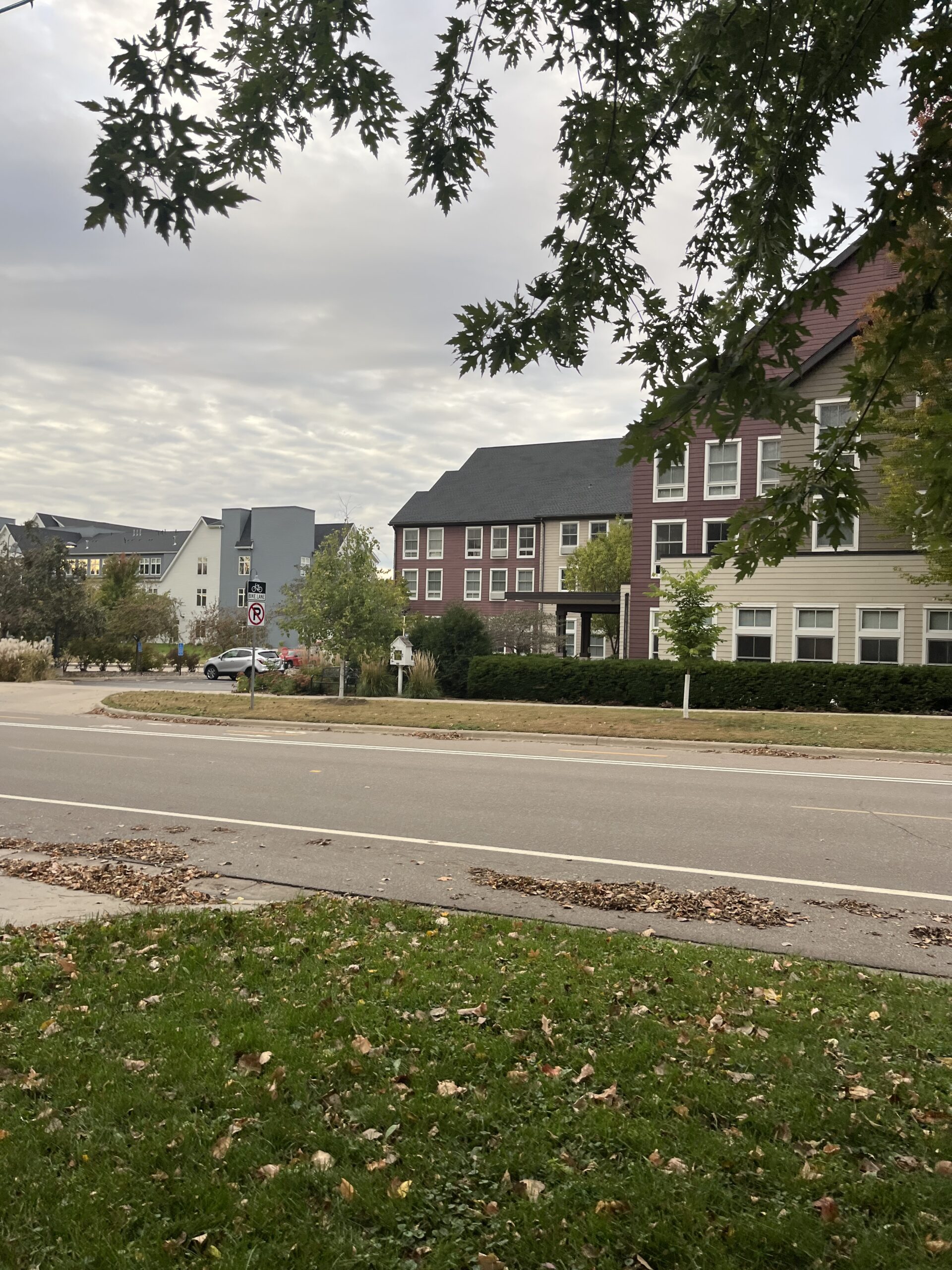
Of course, it wasn’t totally remote. As I walked around Eight Street, I could see a Wells Fargo location, then Millstream Commons Three Links, an assisted-living facility, and a condo building, Village on the Cannon. While these are also residential spaces, they are certainly distinct from the mostly older looking, one-story houses to the south.
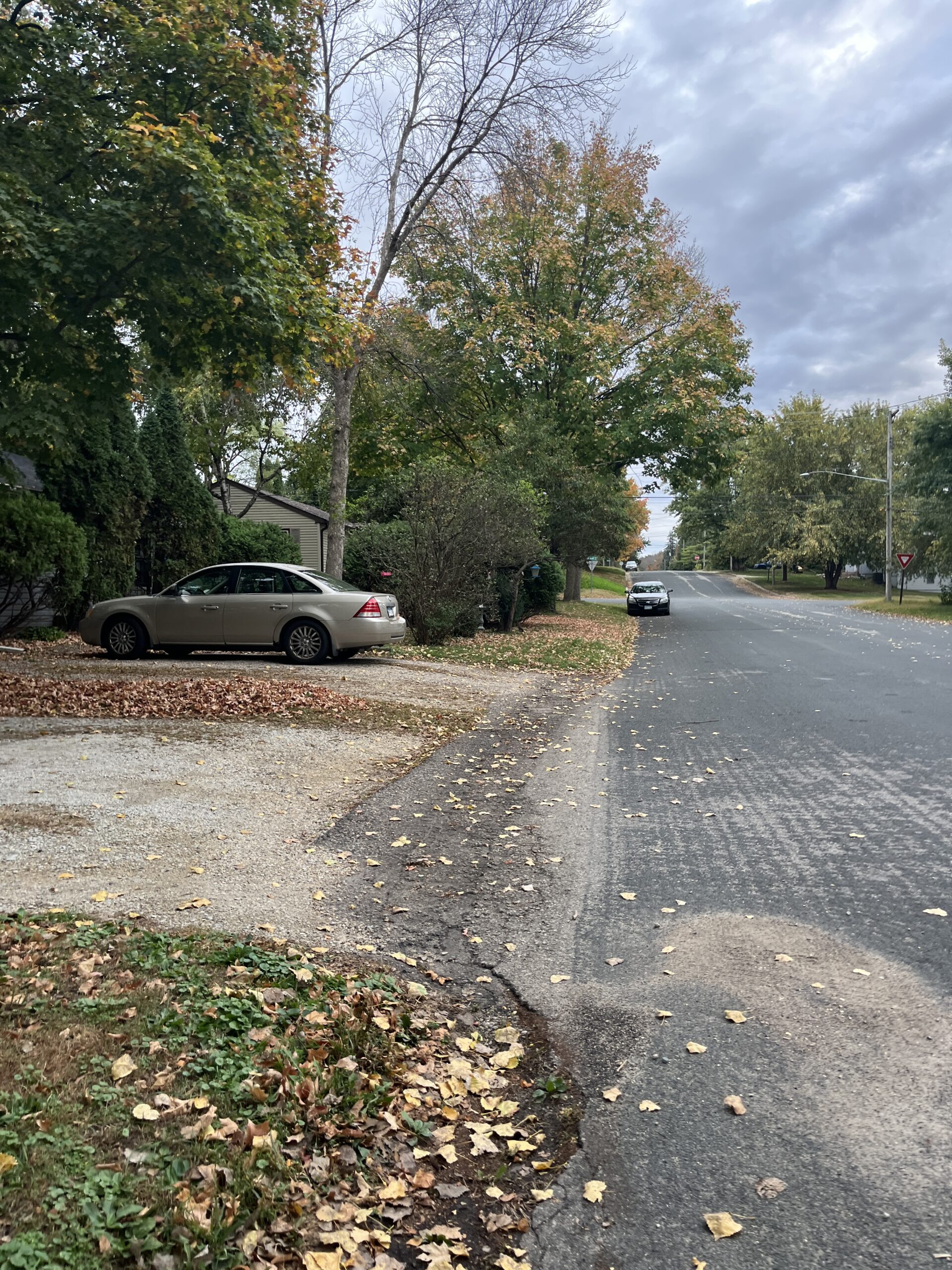
Once I turned Spring Street, the streets got even more calm. Compared to the bustle of downtown, I saw very few people, just one or two neighbors cleaning their lawns or walking their dogs. As I walked, I noticed the way people chose to express themselves on their lawns, as well as some practical things that seemed representative of people’s everyday lives. Some people had their Halloween decorations up, many of the houses had American flags. I saw garden statues. Wooden wagons. An overturned rusty sink in the middle of the grass. A toy construction truck precariously balanced on a children’s swing-set. As I walked past people’s houses, I saw televisions flickering from the windows.
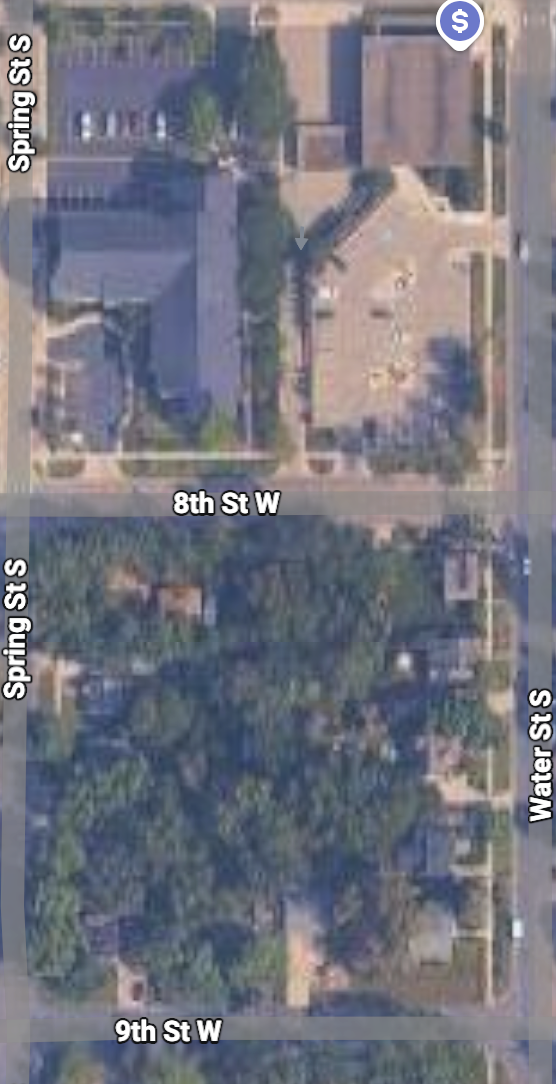
It was also a very green space. Even just looking at a satellite map (as I did to make sure I was in the right place!) reveals how the tree-cover was much heavier south of Eighth Street.
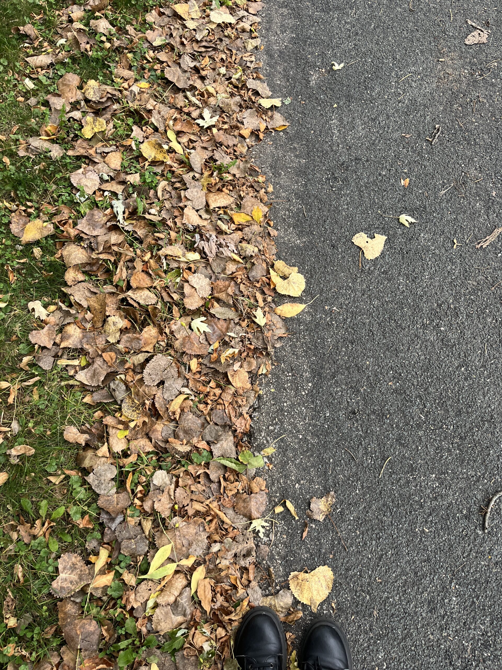
One thing I absolutely noticed (it was difficult not to!) was how most of the streets I walked had no sidewalks. Ninth Street, Spring Street, and Linden Street all transitioned directly from the grass of people’s yards directly to the asphalt of the street. I had to walk on the side of the road, which is not something I’m particularly used to, but I also only saw a single car drive by throughout all the time I was there, so I felt safe.
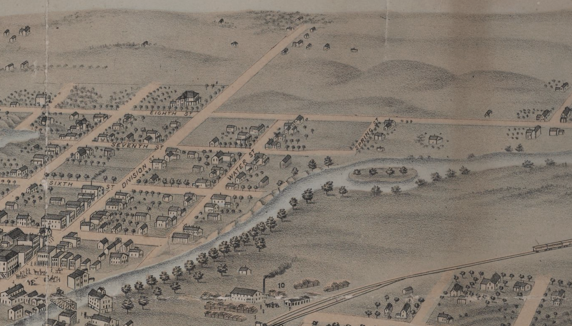
While there is very little information out there for research on these tranquil residential blocks, I did look into the history of this area of Northfield. I was interested to see that the “Bird’s Eye View of Northfield Map” that was created in 1868 didn’t show the existence of Ninth Street at all. In fact, in the area that is currently occupied by the residential blocks I walked, the map only shows empty hills.
I wonder if that’s what it truly looked like at the time or if the cartographers just decided that whatever there wasn’t important. It is interesting that by 1889, the Northfield Directory of Names and Business Firms lists multiple families living in the area. Their careers are even listed, and I took note that these blocks seemed to have included a teacher, a “collector,” an operator, a wagon maker, a wheat buyer, a butcher, multiple clerks, and an insurance agent. I wonder if any of their descendants are still living in the area today!