
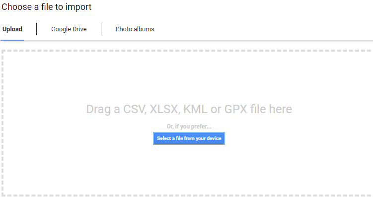
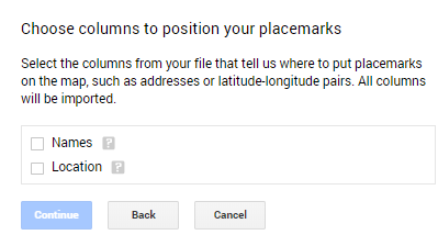
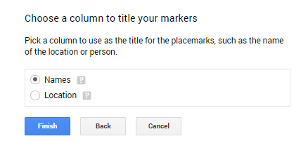
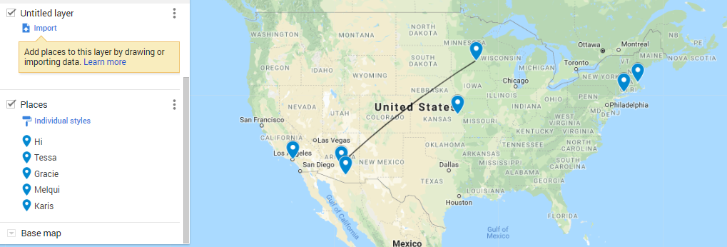
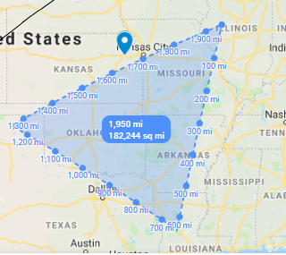
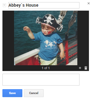
Google My Maps is a basic mapping software that can easily be used to accomplish lots of common digital humanities goals and analyze in useful ways. It allows you to import files (such as CSV or Excel files) and select the location and name of the location and places them as points on the map. It also allows you to use several layers, to express change over time, draw lines between the points to show relationships, and even has tools to measure the area between points! It would only be useful in projects where you have location data, but even novels and shows could be analyzed this way. See, for example, this project looking at the different places in the show It’s Always Sunny in Philadelphia. Because the maps can get minutely specific, as well as extremely broad, identifying one house or an entire state, it can be used in many applications. And, because it works off of Google’s mapping software, it can be specific around the world. However, one of my favorite features is that it can be collaborative. Like any google file, you can share it with other Gmail accounts, who can add their own points (and photos, notes, and data), which allows you to use Google My Maps to collect data as well as analyze it.
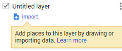
The most important thing to understand is how to import data.
There are tons of example projects on the web to help you get started! This page gives pretty detailed information on the different tools available, while this blog post has tons of examples of different projects and some good tips. Digital Humanities should be accessible, and I definitely think this program makes it super easy to start doing your own analysis!

Cool tutorial, I had never heard of Google MyMaps before; I definitely think I will use it in the future!
Great tutorial! I liked the example you put in and the variety of uses my maps can be applied. I worked on it rudimentarily but I never knew that there are so many additional features!
I agree with Emilee. I did not even know Google MyMaps existed. I think the distance feature is really useful to understand former border lines in in history. Is there a feature you create your own base map?