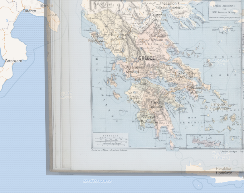
It was extremely interesting to work with maps and spatial humanities. Being able to look at how different historical patterns interact (or coincide) with each other on a 2d surface really provides a different and more dynamic perspective, allowing us to understand and tackle problems differently. When looking at various projects in the group exercise, I was fascinated by how the 2d images like maps convey messages and arguments.
By overlaying historical maps with modern illustrations, we can see how people from ancient time’s have a different perspective on spatial relations than we have today. By reading the legends, annotations, we can try to relate ourselves to the ancient people more
Here is the overlay map I created with David Rumsey’s webpage.