
Progress And Problems
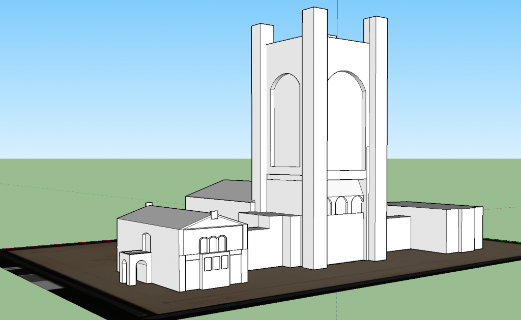
Cole and I have visited the archives to look at campus plans and to do a little research on the ideas behind the plans and why they were never built. After going to the archives, and seeing the many different plans for the campus, we decided to scale back our plans and decided to focus on the plans of buildings around the Bald Spot, namely Skinner and the original plan for the Library. We have gotten good progress on modeling the buildings, but aren’t quite do yet. We’ve added a tile layer of a campus map from 1928 on ArcGIS and started putting some data in as points.
As for our Unity project, we’ve made significant progress in modeling campus terrain. We now have a height map of Carleton’s terrain, a road network of campus, and realistic trees and grass in our Unity game scene. Once we’ve finished with our building models in SketchUp, we will start to import the models into Unity and further build our 3D project.
Tools and Techniques
We are planning on having a two part site with and interactive, flat map to view data and get the story, which is made on ArcGIS with a layer of an old proposed campus map and points displaying the relevant information about the buildings. The second part is a game in which a person can “walk” and see what the campus around the bald spot would have looked like versus how it looks now. The game is being built using Unity for the terrain and SketchUp for the buildings.
Deliverables
The models will be finished by Monday March 4th and the website with the finished map and game will be be up on March 9th.
Questions
We’ve been able to import models of Willis and Goodsell from the Carleton CityEngine file, but we were wondering where we could find other models in central campus. Is there another project that contains more models of campus buildings?

Hi Team, great work so far! Looks like the project is coming along. Two suggestions based on your update and questions:
1) For the map presentation, I would highly recommend you use a Story Map template to be able to add prose narration and still images more effectively than a straight web embed. Of the various app templates, the Journal, Tour, or newer Shortlist might work best for the type of resources you have to show off.
2) As for the rest of the building models, I received word from our GIS specialist Wei-Hsin Fu that you are welcome to use them as long as you cite the creators and the GIS Lab in your credits. The files live in a folder called VirtualCampus on the GIS server, which you can access with your Carleton credentials by mounting it as a network drive.
Follow the instructions to mount a network drive here, using the smb: protocol to connect to
GISVOL.ads.carleton.edu/GISVOL
The COLLADA (.dae) files and their textures are in the GIS/Projects/VirtualCampus/DAE directory, as is a list of creator credits in the _Source.xls file. For more information, you can read about the project to create and deploy these in the VirtualCampus/Documentation folder.