In the late 1930s, Walter Koester purchased land near the town of Dennison and cultivation of the land began. Originally, the Koesters primarily raised cattle for dairy production, but ultimately shifted their focus towards beef cattle. In turn, the primary agricultural focus of the area at large shifted towards industrialized agricultural. In this context, the area surrounding the Koester site became devoted to the cultivation of monoculture crops, such as corn or soy.
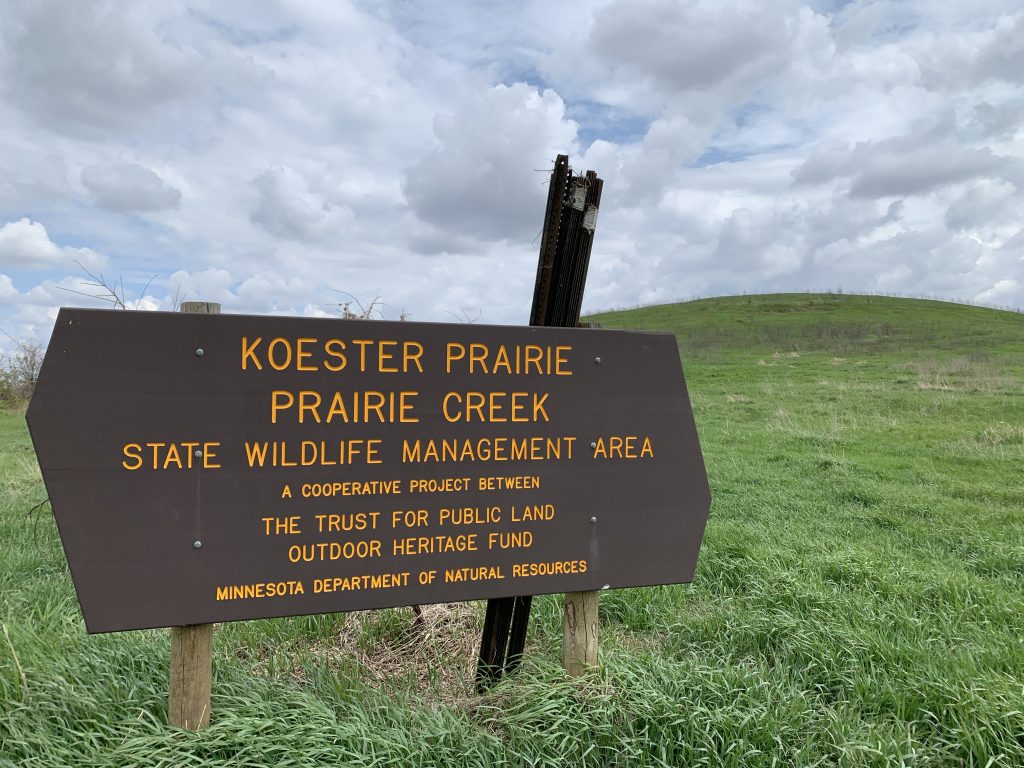
By 2008, Craig Koester, Walter Koester’s grandson, began the process of conserving his family’s land. Over the next few years, working in conjunction with the Minnesota Department of Natural Resources and other environmental organizations, Koester managed to secure the conversation of the land. In early 2014, the land was designated as a Wildlife Management Area (WMA) “due to its habitat quality and diversity, potential for habitat improvement, and location in ecologically diverse and valuable area.” Below is an interactive map of the site which shows the diverse variety of landcover. More detailed information can be revealed by clicking on the various elements of the map. I have borrowed the map after locating it on Carleton College’s ArcGIS community content.
In addition to the map above, Carleton students in Professor Kim Smith’s Environmental Studies course conducted various oral history projects related to Koester Prairie WMA. Below, I have included a link Craig Koester’s oral history, as it concisely summarizes the significance of his conservation efforts and the importance of land conservation in general.