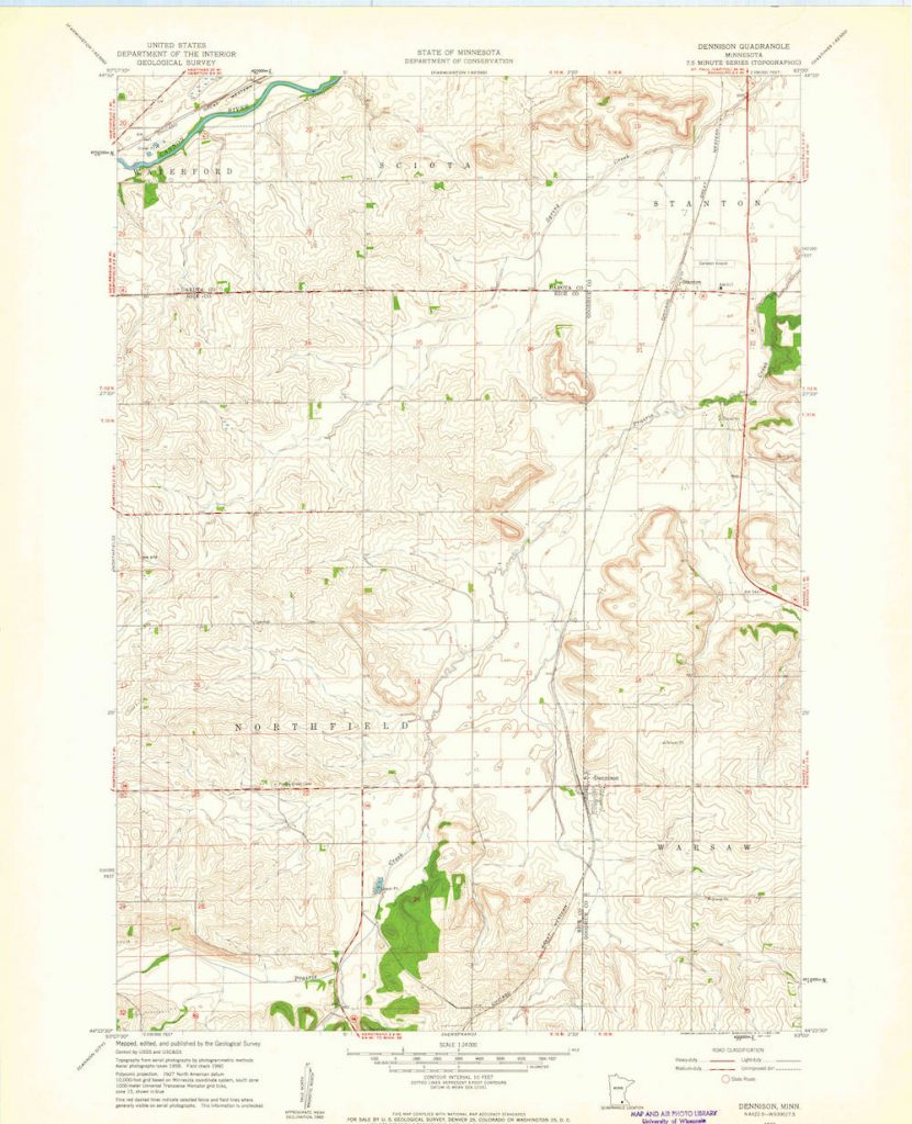
Welcome to the Dennison Quadrangle deep map. In the pages to the left, you can explore three important places within the quadrangle’s boundaries: Dennison itself, Stanton, and Koester Prairie. After exploring these places, head to the page labeled 3D Interactive Tours to play a driving or flying tour of the quadrangle, whichever most suits your fancy. I hope you enjoy!