Walking East Northfield – Washington Street and 9th Street through Woodley Street and Maple Street

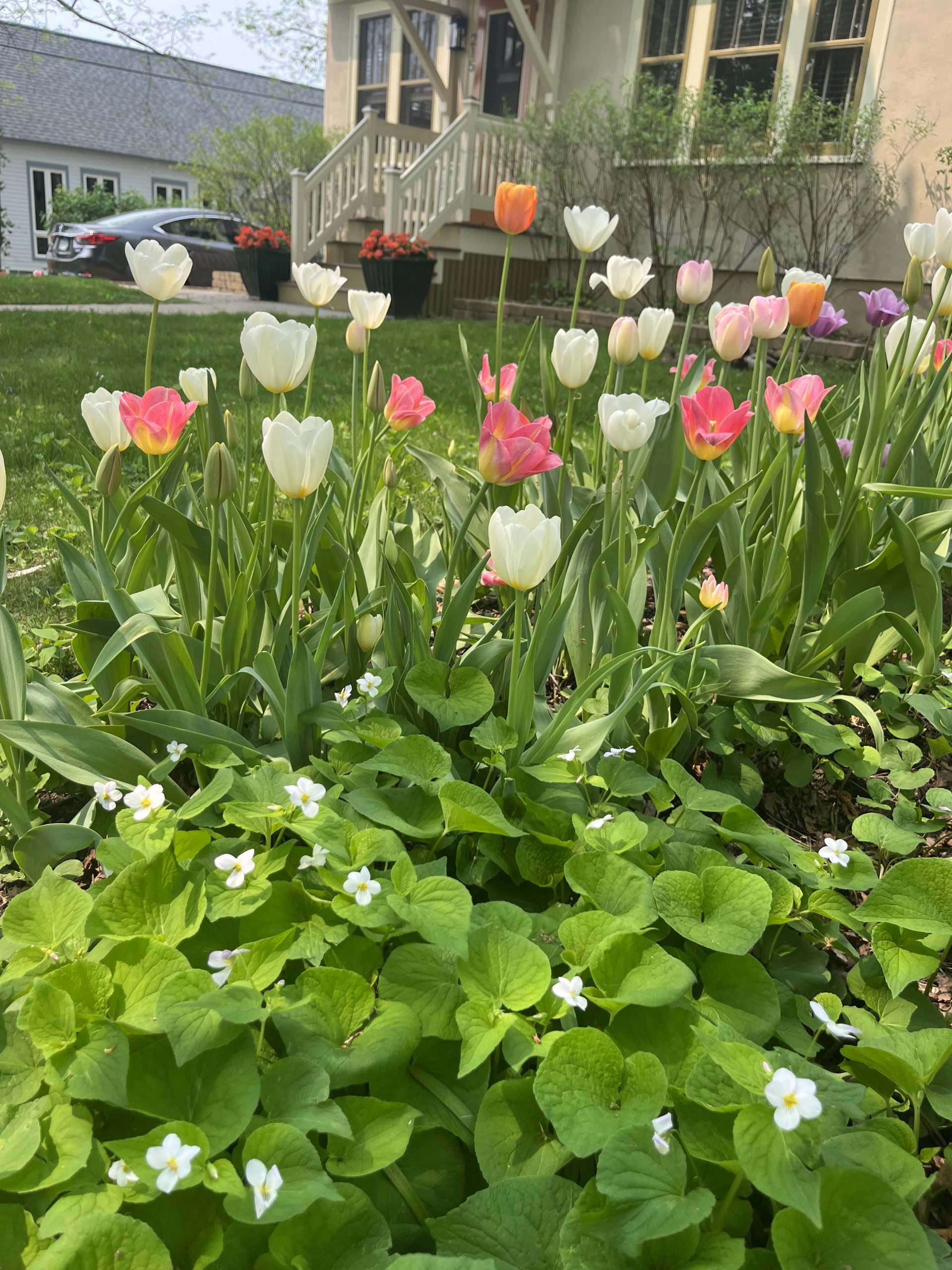
As I stepped out onto the streets of Northfield, Minnesota, the gentle spring breeze carried the scent of blooming flowers and the distant sounds of chirping birds. I embarked on a stroll, starting at the intersection of 9th Street and Washington Street, eager to explore the vibrant neighborhood ahead. I began my journey, and with each step, the charm of the surroundings unfolded before my eyes. Tall maple trees lined

Future Methods

This project was made using the “Unity” game engine with the Mapbox SDK (a downloadable library). Unity makes the game (collisions, objects etc.) while the Mapbox SDK lets us create a game using GPS data with ease. First, Unity can be a dense overwhelming software that requires some getting used to. There are an ample amount of tutorials online.  https://learn.unity.com/ is a common suggestion or there are many others that

Future Sources

In order to find some possible futures of the Ames Mill dam and surrounding areas, we did research on two fronts: specific predictions and analyses of Northfield and the Cannon River, and similar dams that have been removed, breached etc. Research for this project was difficult, because unlike other projects dealing with the past and present, we had to be creative to find sources that helped us establish a speculative

NPL – Future

Exploring the Possible Futures of the Ames Mill dam through Location-based AR When tasked with visualizing the potential futures of the Ames Mill dam, we were inspired by several video games. The first is Disco Elysium, an RPG that is mostly about solving a murder mystery, but also features a very well-developed world, which talks to the player in the form of a skill called Shivers. We were inspired by

RCHS – Methods

Our project evolved quite a bit from start to finish. From the start, we encountered some challenges — not only in terms of scope and material available, but also on a theoretical level, as we thought about how to visualize the history we were researching in the form of a map. There is so much ambiguity and potential unreliability in the sources we were looking at that we were hesitant

RCHS – Sources

A note on primary sources from the team of the Bdote Memory Map: “Many of the primary resources that present Dakota history and identity, and US-Indian relations, are based on assumptions that not only arise from non-Dakota perspective, but actively exclude any indigenous perspective. Challenging these assumptions is much more than a matter of political correctness; it is a requirement for any accurate understanding of our past. For instance, the

Rice County Historical Society

 This project was initiated by the Rice County Historical Society with the goal of increasing awareness of the historical Dakota presence in Rice County. As it evolved, we narrowed our scope to focus primarily on one hand-drawn map in the RCHS collections, “Map of Indian village in the valley behind the School and Colony, Faribault. Indians were removed to Morton, Minn. in 1895. Map drawn by Mrs. Wm. Lynch Sec.

Sources

“The Ames Mill | NorthfieldHistorical.” 31 July 2016, https://web.archive.org/web/20160731194234/http://www.northfieldhistorical.org/items/show/20. Bosman, Julie. “Vast Stretches of Minnesota Are Flooded as Swollen Rivers Overflow: [National Desk].” New York Times, Late Edition (East Coast), June 25, 2014, sec. A. https://www.proquest.com/docview/1539635023/abstract/8286C78412764F95PQ/1. “Chapter 17.” Minnesota – Special Laws. 17th Session, 1875, 95-120. https://heinonline.org/HOL/P?h=hein.ssl/ssmn0138&i=96. Fossum, Paul R. “Early Milling in the Cannon River Valley.” Minnesota History 11, no. 3 (1930): 271–82. http://www.jstor.org/stable/20160861. Hargie, Karin. “The Effects of Dams

Methods

Our final product for our community partner, the Northfield Public Library, consists of two  ArcGIS StoryMaps that narrate the Cannon River’s past, from its geological and ecological history through human use and settlement, with an emphasis on Bridge Square area and the Ames Mill Dam. We present a symbiotic relationship between the river and humans leading up to the present. The library will potentially use this as part of the

css.php