From the Commonplace Book:
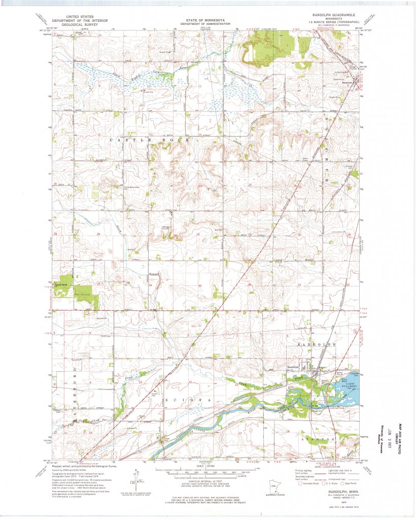
I walked through this quadrangle for the first time without having done any research on the history of this place, but I was drawn to the city of Randolph because of its more familiar infrastructure compared to the rolling hills and agricultural plots covering the rest of the area.
This deep map represents my experience exploring this place and traces the history of two of the main features of the area that really made the Randolph area attractive to humans. First, the Cannon river which caught the eye of native bands and early settlers and which has now been dammed to create Lake Byllesby that attracts animals and people alike. Second, the previously called Minneapolis, Northfield & Southern Railway that helped connect Randolph City to the rest of Minnesota and the US.
Go through these three “maps” that start to represent the deep history of this space.
Above is a map representing the overlapping borders for counties and indigenous territories in Minnesota and specifically the 7.5 minute USGS Randolph quadrangle.