My first experiences of the Kenyon quadrangle were from topographic maps and exploration via Google Earth. From these sources I could see the town, the roads and railroads, the two major rivers, various churches dotting the countryside, and the change in terrain in the northern section. When I traveled through the area in person, however, I was struck by certain aspects that were not apparent from the maps I had previously studied. There was much more variation in the terrain in the northern section than I had realized, and the change from the hills to the flat country was surprisingly abrupt.
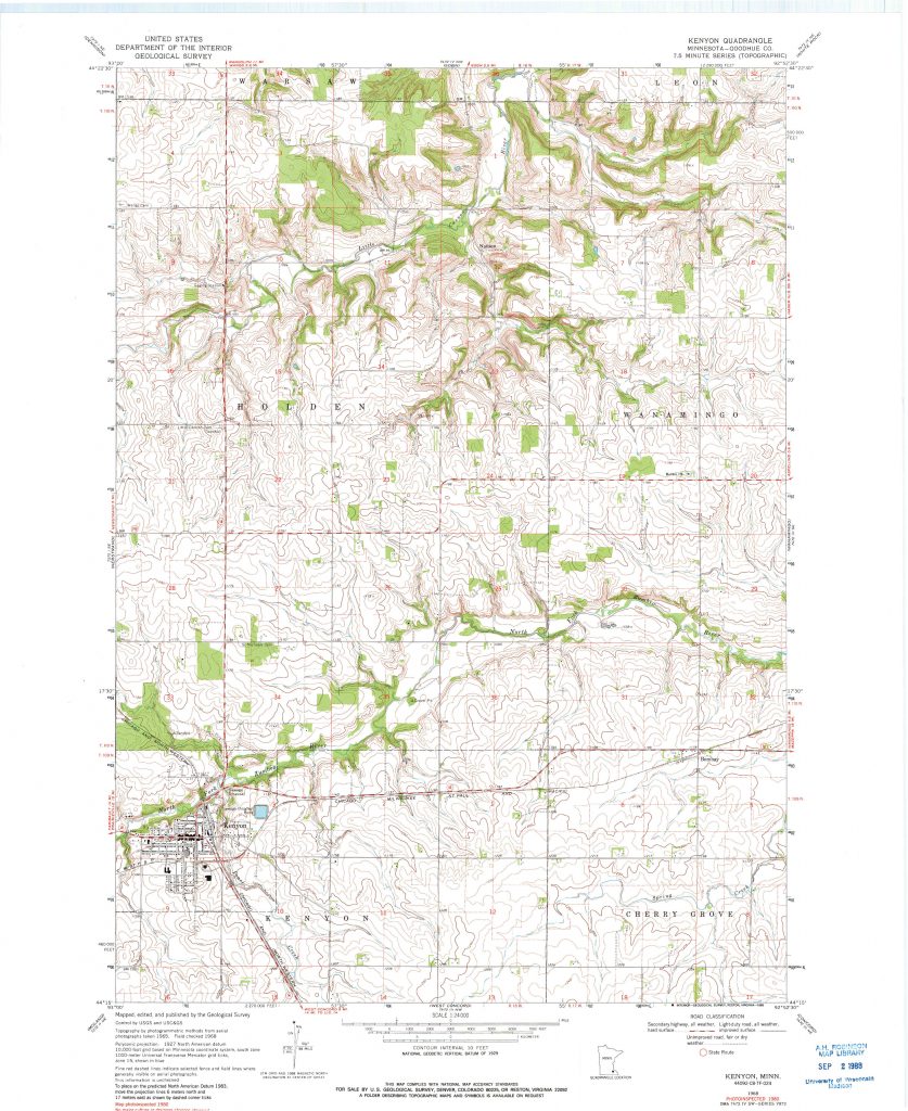
That led me to wonder, why was it such an abrupt transition? Perhaps the difference between the terrains was so stark to me because I was traveling quickly by car on a straight road. Were I traveling more slowly, the transition would not seem so sudden. This led me to consider how people in past periods of the quadrangle’s history would have moved through the space, and how it would have seemed much larger to past people traveling without a motorized vehicle.
What came of this was an attempt to capture historic travel through the Kenyon quadrangle, not only through methods and routes of travel but through the way movement shaped people’s perceptions of the size of the space. This map draws upon historic plat books, newspapers, interviews, and 19th-century letters to capture not only spatial information, but people’s attitudes toward traveling difference distances. The distances that people were willing to live from settlement centers and necessary resources indicates a distance that they were easily able to travel daily. This represents their immediate “spatial imaginary” centered upon their home and the places that fulfilled their daily needs, such as churches or, most importantly, post offices. People traveled longer distances for more important matters, expanding their spatial imaginary but only under certain conditions, such as visiting family or a doctor. The spatial imaginary expanded, but only with necessity. This map attempts to capture people’s immediate world within the Kenyon quadrangle in different periods of its history of white settlement.