Above is the interactive GIS map I’ve created for this course. While it may look like a set of arbitrary lines and shades at the moment, my hope is that navigating this site will allow the casual observer to decode my abstractions on the map in finding a greater meaning of how this piece of land came to be the way it is.
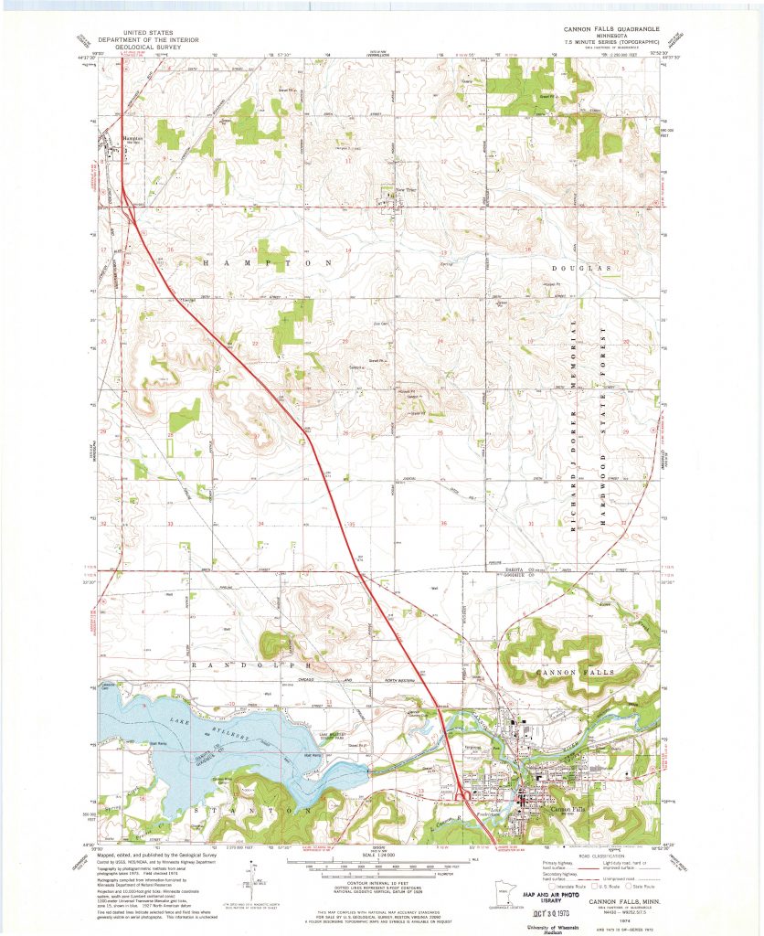
This image serves as the “shallow map” that I made my goal to deconstruct as a member of this class.