This project was made using the “Unity” game engine with the Mapbox SDK (a downloadable library). Unity makes the game (collisions, objects etc.) while the Mapbox SDK lets us create a game using GPS data with ease.
First, Unity can be a dense overwhelming software that requires some getting used to. There are an ample amount of tutorials online. https://learn.unity.com/ is a common suggestion or there are many others that you could find on websites like Reddit. In my personal experience, you learn a lot by doing and deconstructing things yourself — don’t be intimidated!
Moreover, in terms of Mapbox, there are two good tutorials that I would recommend watching: First this quick demo of Mapbox Unity — is a good starting point.
Then this other tutorial teaches you how to make your “Pocket Droids Go” game which is a longer form tutorial. Do note that this tutorial uses an older version of the Mapbox SDK.
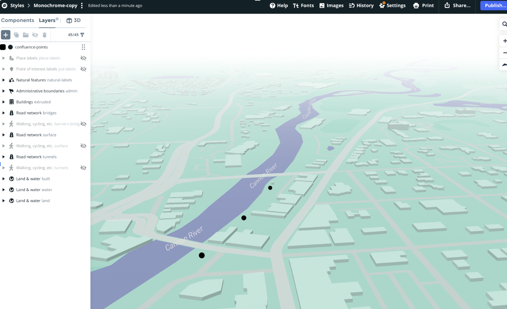
Moreover, we took the sample “Location Based Game” template found in the Mapbox SDK which basically did most of the things for us out of the box. In our case, changed the location to be in Northfield and changed the map using a software called Mapbox Studio. This allowed us to modify the appearance of the map for use in our project. It also allowed us to add points to be used for our confluences!
Finally, we took a walk outside by the river to obtain dummy data to be used in our project. We got a called “GPS Tracks” to record our walk. Then, we put that data into our project which moved the player around for testing. Here is the result!