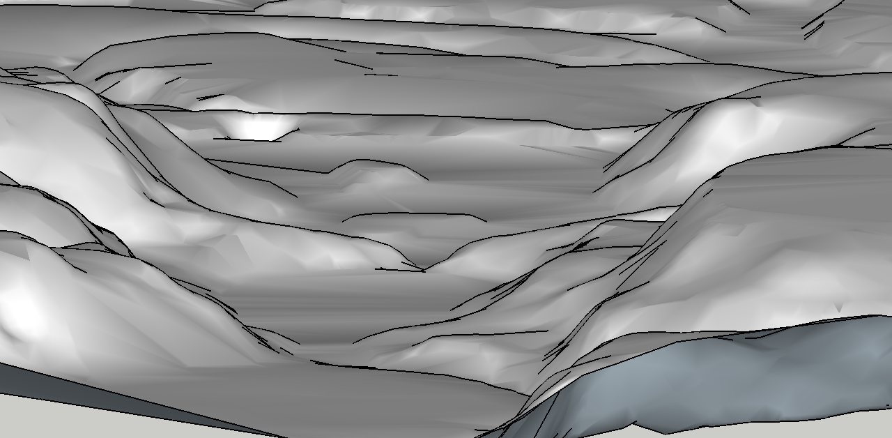
View of modern-day Lyman Lakes from upstream
How does one turn this…

Whoa! Now there’s a river there!
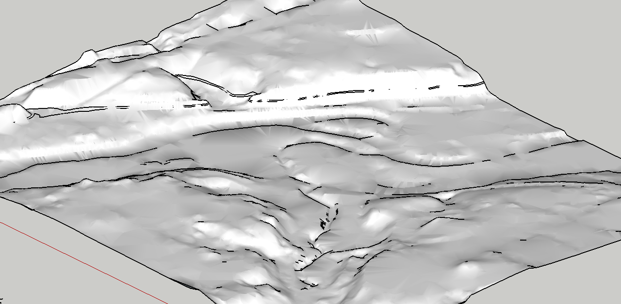
…into this?
Well, the answer took quite a bit of messing around to find, even once the file was transferred into a format that could be edited in Sketchup at all (which was its own adventure).
My first few attempts were mainly centered around editing the sandboxed (a Setchup tool that creates faces from topographical data) topography with the Smoove and Detail tools, but that mostly yielded highly angular and bizarre looking topography like the one below:
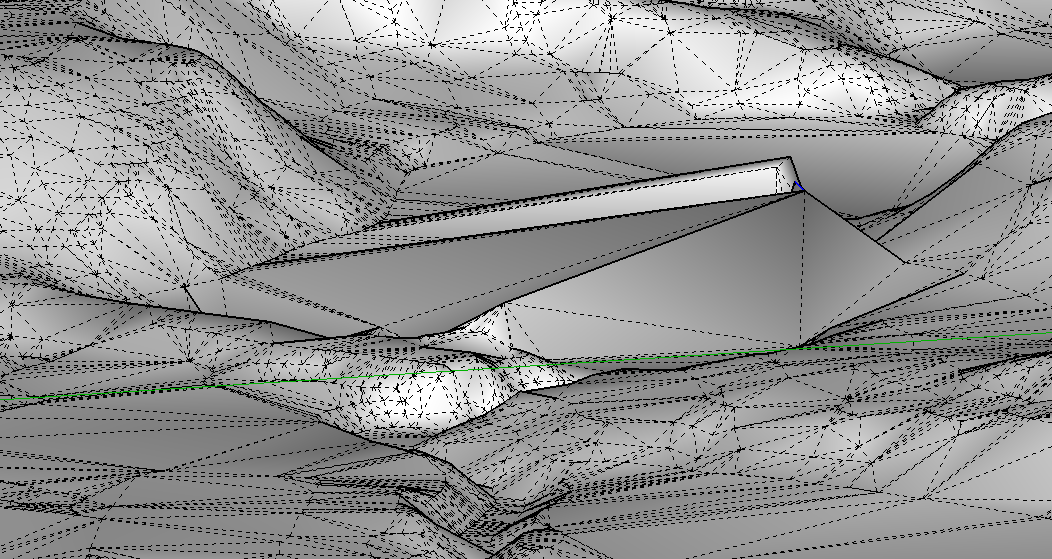
Something that doesn’t look even remotely like Lyman Lakes OR a river.
Luckily, revelation struck! By copy-pasting parts of the already existing streambed into the areas where I wanted to create a stream and then connecting the topographic lines before the image was sandboxed, I could create curved surfaces: something SketchUp absolutely hates to do otherwise.
In the end, I am pretty satisfied with the new version of Lyman Lakes. Although so few images exist of the river before Lyman Lakes were created that it is impossible to know how accurate the image is, I did find it interesting that even such a small difference as this makes a vast difference to the feeling of the landscape. While Lyman Lakes gives a sense of expansiveness, the narrower streambed makes the valley seem more secluded and divisive.
This was a fascinating experience, not only because of what I learned about modeling, topography, and technology but because of it’s uniqueness: how often do you get the chance to manipulate entire land masses? I have learned how to raise mountains or make rivers run, and that is very cool.

Before modification.
After modification.
I found the whole project fascinating as you had to deal with topographical data instead of using the photo match technique. I also found it interesting that there were two iterations of Lyman Lakes. It looks like an accurate representation of Lyman Lakes in the current state. Is there a way of making the water surface blue or shading the elevation of the land with SketchUp? That would be cool, but SketchUp probably does not do that.
Thanks, I found it interesting too! Yes, this representation is the current topography of Lyman Lakes with only two islands.
I looked into shading but unfortunately there isn’t really an easy way of doing it. I think you could probably create two dimensional flats colored the way you desired and then use the drape surface to place them where you wanted, but that would require a great deal of precision and measurement, not to mention time. You could color the entire face, but it’s harder to select only certain spaces for certain colors.
Eliza,
Great job working through the sandbox tools and figuring out how to model the terrain with copy/paste tools when Smoove wouldn’t work for you. This was a grand experiment and I’m excited you figured out how to make it work. Further refinements to the texture and the broader context would be interesting to explore, but this is great work.
I couldn’t find the .skp file in your shared folder. Can you share so I can incorporate it in our group map?